Electric & Nuclear Utilities

Explore how can Weiss AG's solutions benefit your industry.

OUR SOLUTIONS

About Sector

Nuclear related projects often pose unique and challenging conditions for 3D data capture.

Weiss AG provides a variety of technologies to capture some of the most inaccessible areas, including remote surveying via panoramic and traditional photogrammetry.

Data Collection

Civetta can operate with a laser scanner for clients with further need. All Weiss AG’s photogrammetry hardware can also produce high-quality 2D/3D data alone. A complete photogrammetric survey can be done for the building or a specific part of the equipment with no physical contact. All hardware provided by Weiss AG enables distance operation via Bluetooth, which reduce the exposure time to high radiation for staffs and enables data to be collected in inaccessible areas.

Data Management

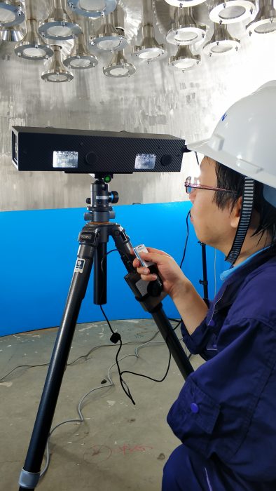
The system combines complex measuring techniques and advanced data processing with a user-friendly interface and various individual system usage options. The result is a highly flexible, high-performance system delivering easily understood condition information straight to the user. Along with the image and 3D models captured in the field, other digital assets are collectively managed in the Visual Asset Management System VAM2 provided by Weiss AG.


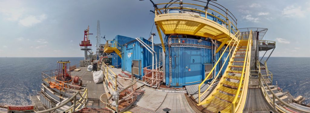
 Here are some of the assets that might be collected to create a digital twin for the offshore platform.

3D point clouds and mesh model, with measurement data
360 HDR panorama image(JPG), with measurement data
Other high-resolution images of the scene and objects
Safety Evaluation Report and records
Inspection plan and floor plan(CAD, BIM)
Standardised videos and 360° videos
Audio
other office documents or media
digitalised and scanned files

Services

Implications

  • • 2D 360 x 180° visual tour
    • 3D visual tour via point cloud or mesh (Visualise radioactive substance in real space)
    • 3D models comparison to explore the effect of high radiation on physical components
    • Digital twins records, resource management
    • Keep track of project progress, such as development and decommissioning design activities.
    • Remote planning (reduce avoidable exposure to radiation)
    • Measurement and calculation on cell and tower volumes
    • Visual Inspection (add comments, notes, HDR image filter and surface analysis)
    • Visual maintenance (with label and URLs for sharing)
    • Physical measurements ( high accuracy, compatible with laser or any other methods)
    • Communication and file transfer (offshore/onshore)
    • Annual analysis and evaluation (VAM2 portfolio as zipped file or URL webpage)
    • Allow structural engineers to functionally design new supporting frames or components that best fit the scene

Examples and case studies

  • We use I-Detic for remote capturing in the Chinese Nuclear Station to detect the after-time effect on objects in the high radiation regions
Weiss AG Civetta 360° Camera Oil Rig
construction

Some of the previous clients

  • Chinese Nuclear Station Group

Benefit from digitalisation today.

Find us on social media